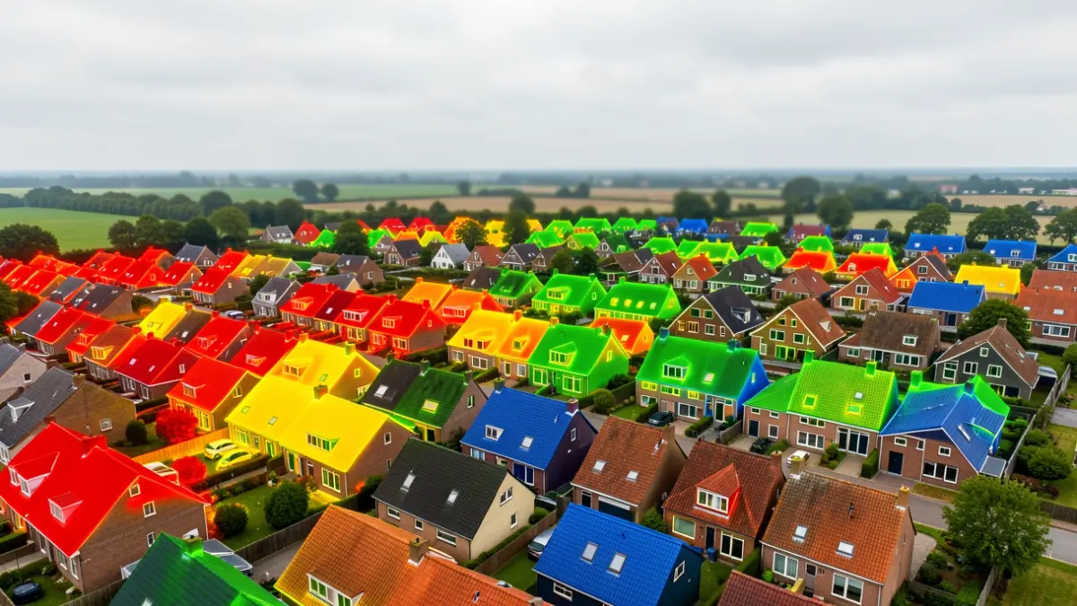
Fluvius has recently made aerial thermal images available for Asse. These aerial photos show where heat escapes through roofs, quickly giving homeowners an idea of whether additional roof insulation might be beneficial.
The thermal image of your own home can be viewed for free via the Fluvius website. The colors on the map indicate the insulation value: red means the roof is not or insufficiently insulated and extra insulation is strongly advised; yellow indicates insulation is present but the layer is too thin, making additional insulation worthwhile; green shows the roof is well insulated, but checking compliance with current standards is recommended; and blue indicates very good insulation, where periodic checks suffice.
It is important to know that the heat map only provides an indication of heat loss. For correct advice, it is best to discuss the situation with an expert, for example via Energiehuis 3Wplus.
A well-insulated roof is an important first step towards energy-efficient living and contributes to greater living comfort, less energy loss, a lower energy bill, and a better EPC score.