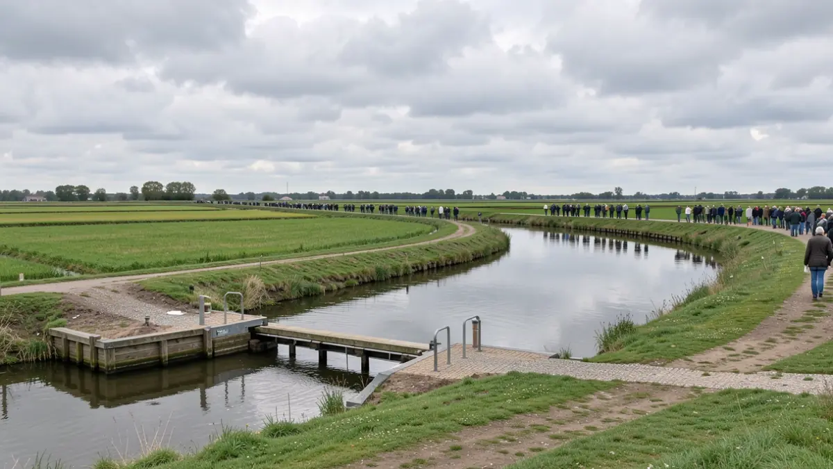
Due to changing precipitation patterns in Flanders, the Kalkense Meersen area faces an increasing risk of drought and flood damage. To combat this, a water level decree is being drafted to define how water levels in the area will be managed in the future. The aim is to counteract drying out, retain more water, and limit waterlogging, while considering land use.
The Kalkense Vaart was designated in 2023 as one of the 26 priority areas for the development of a water level decree, due to the current water system being under pressure. Better coordinated water management is needed to cope with the effects of climate change, buffer water, and achieve nature objectives.
The water level decree divides the Kalkense Meersen into two water level zones, each with specific management plans. In Peilzone Kalkenvaart, which is being developed into a habitat for meadow birds and the corncrake, water levels will be adjusted to accommodate the need for regular flooding in winter and spring, and to prevent groundwater from dropping too low in summer. The outdated pumping station will be replaced by a new drainage structure. The limited agricultural land in this zone is higher and is not expected to be negatively affected.
Peilzone Scherenmeersen will be established as a marshland and reed bed with open water, creating habitat for protected species like the bittern and the purple gallinule. These species require a wet habitat with high and stable water levels. Fish ladders and a dike will also be installed to manage the wetting of the zone without impacting surrounding areas.
Further information can be found in the attachments and on the website of the VMM, which also includes a digital participation form.