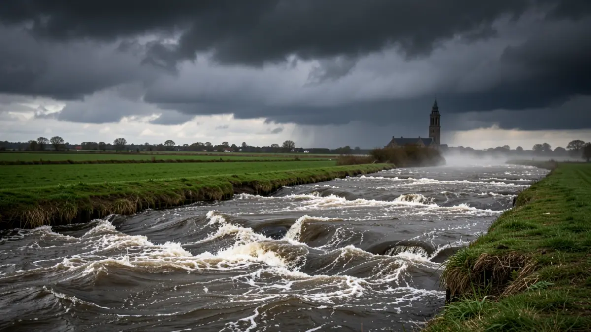
The wind accompanying storm Boelo is pushing up the water in the Scheldt estuary, causing elevated water levels. The controlled flood areas (GOG’s) of the Sigma Plan are prepared to temporarily receive excess river water. Together, they form a chain that better protects Flanders from floods of the Scheldt and its tributaries. During the storm tide, the flood areas will be closed to visitors. De Vlaamse Waterweg nv urges everyone to strictly respect the signage and closures.
A storm tide warning is in effect for the Western Scheldt basin. Although storm Boelo is gradually moving away on Sunday, the wind will continue to influence water levels. The increased water will also be felt further inland via the Scheldt.
According to forecasts, high water will reach Antwerp on Monday, October 26th, around 3:15 AM, with a predicted level of 6.65 meters TAW. In Temse, 6.80 meters TAW is expected around 4:02 AM, and in Dendermonde, 6.75 meters TAW around 4:47 AM. For Melle, the forecast is 6.56 meters TAW around 6:27 AM. These are predictions; actual water levels and times may change. The most recent forecasts can be consulted on Waterinfo.
The strength of the Sigma Plan lies in the coherence between its various areas. Spread along the Scheldt and its tributaries, the controlled flood areas form a chain of temporary water buffers. When the river water rises high enough, it flows over a lowered overflow dike into the flood area. A ring dike around the area protects the surroundings. By temporarily storing the excess water, the high water wave is attenuated, and the pressure on the river dikes is reduced.
During this storm tide, De Vlaamse Waterweg nv expects GOG activity in the following flood areas: Tielrodebroek (Temse), De Bunt (Hamme), Lippenbroek (Hamme), Wal-Zwijn (Hamme), Vlassenbroek Noord (Dendermonde), Uiterdijk (Dendermonde), Scheldebroek (Berlare), Paardeweide (Wichelen), Bergenmeersen (Wichelen), Potpolder 1 (Waasmunster), Bovenzanden (Heindonk), Zennegat (Mechelen), Anderstadt (Lier), and Polder van Lier.
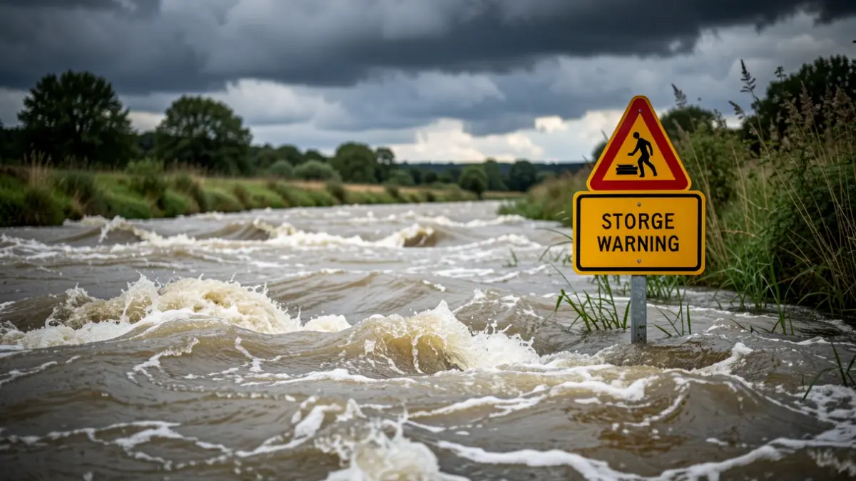
During the storm tide, the controlled flood areas will be closed to visitors. The overflow dikes and closed walking and cycling paths will also be inaccessible. This is necessary for safety: water can flow over the overflow dike, and paths may become submerged. De Vlaamse Waterweg nv asks walkers, cyclists, and other visitors to respect all signage and closures, not to go beyond the barriers, and not to enter the areas to view the high water.