Salinization is an increasingly important concern for water management. To better monitor the spread of saltwater in and around the Moervaart, the VMM, together with various partners, has installed a sensor network that continuously tracks salinity levels. This is done at the request of the Flemish-Dutch Scheldt Commission (VNSC), which collaborates on sustainable management of the Scheldt estuary and addresses salinization issues in the Canal Ghent-Terneuzen.
The research was prompted by drought and changes in the water system, such as the commissioning of the Nieuwe Sluis in Terneuzen. This allows saltwater from the Canal Ghent-Terneuzen to penetrate further inland, reaching the Moervaart and its tributaries. Measurement points have been established to understand this phenomenon.
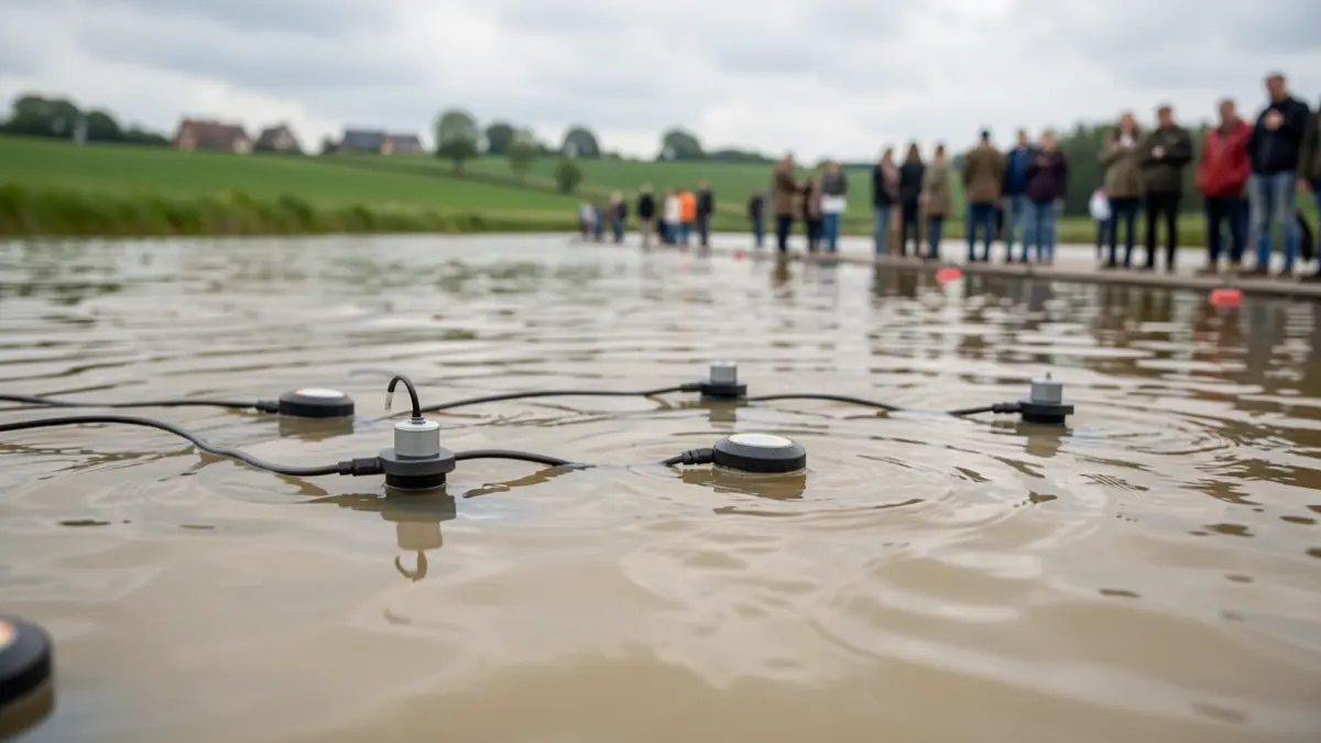
Conductivity sensors measure salinity. At some locations, measurements are taken at both shallow and deep points, providing researchers and water managers with a clearer picture of how saltwater spreads through the waterway due to canal pressure and factors like ship waves, and how effectively the area can be desalinated. In addition to fixed measurement points, six mobile stations were deployed to assess the extent of potential salinization towards the Zuidlede and the Canal of Stekene.
Initial results from the dry summer of 2026 highlight exceptional salt pressure, with peak values up to 20 times higher than typically recorded in regular monitoring. Furthermore, the salt pressure remained elevated for an unusually long period, whereas previously only short-term peaks were observed.
The measurement data helps water managers track the spread of saltwater in the Moervaart and its tributaries, which is crucial for protecting valuable freshwater ecosystems and species that may migrate from the Canal Ghent-Terneuzen to sweeter waters in the Moervaart basin during dry periods. The measurements also help map risks for agricultural water abstraction, as increased salinity can affect irrigation and livestock watering. These results form a significant basis for evaluating management choices and exploring additional measures to make the area more resilient to salinization and drought in the long term.
The measurement data provides a basis for future measures in the area. The further monitoring of salinization in the Moervaart valley is a key focus within the actions proposed by the VNSC. This project aligns with the VMM's broader expertise in salinization monitoring, including networks already in place in the coastal region and the Westhoek.