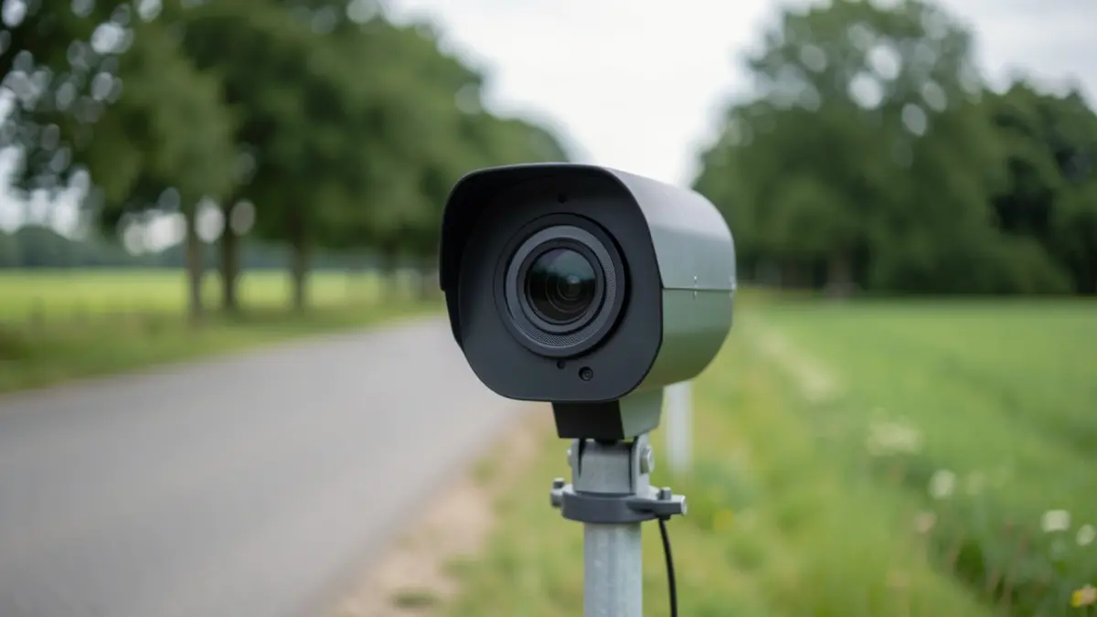
The selection of LiDAR measurement locations is based on objective data such as traffic counts, speed measurements, resident reports, and previous police speed checks. The deployment in Genitsstraat is part of a test project that will run for five weeks in late 2026 at various locations in Oudsbergen.
After the measurement period, the results will be announced, detailing the number of vehicles checked, how many drivers adhered to the speed limit, and how many speeding violations were recorded. This will also provide insight into the LiDAR's effect on driving speeds.
Through this project, the municipality is exploring the added value of LiDAR within its road safety policy. The municipality emphasizes that LiDAR alone does not make roads safer and will continue to focus on awareness campaigns, police enforcement, speed cameras, and infrastructure improvements.
The municipality announces each deployment in advance and shares the results afterward, aiming to make drivers more aware of their speed and encourage respect for the speed limit, even without direct enforcement.