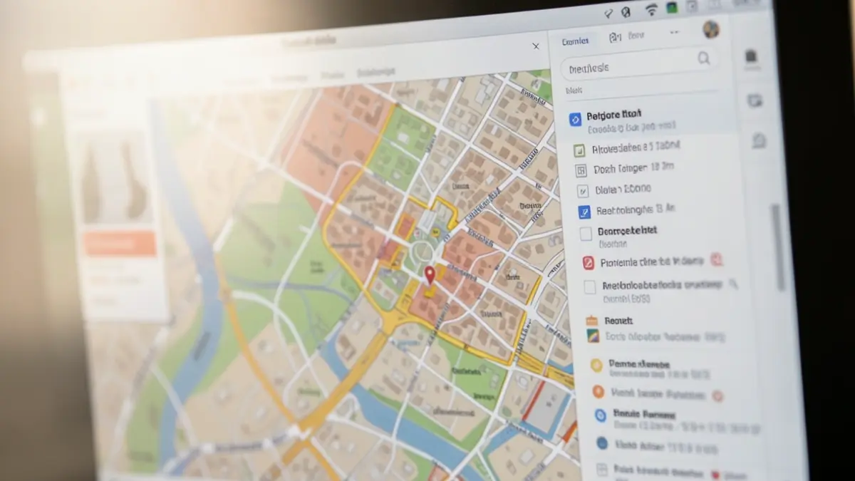
With this integration, part of the Permitting Action Program, a significant step is taken towards simpler and more transparent consultation of urban planning regulations. Users can now more quickly ascertain which urban planning regulations from spatial planning instruments apply to a plot or location.
The information used by the application comes from the exchange platform for Digital Urban Planning Information (DSI). The availability of detailed geodata in DSI is essential for interpreting the planning context and involves a growth trajectory. Without this detailed information, the application can only provide an overview of the relevant planning instruments.
The application interprets, among other things, development plans (including regional plans, APA, and BPA), spatial implementation plans, complex projects, water-sensitive open space areas, and revisions of outdated regulations. It also shows which planning instruments are no longer applicable and provides information on instruments that are in preparation, provisionally or definitively adopted, or suspended. Existing ordinances are also clearly displayed.
The results of the application are purely informative and do not constitute a legally binding interpretation. In complex situations or at the boundaries of designations, additional assessment by an expert may be necessary.
The interpretation for granting a building permit or a license remains the responsibility of the permitting authority, in most cases the municipality.