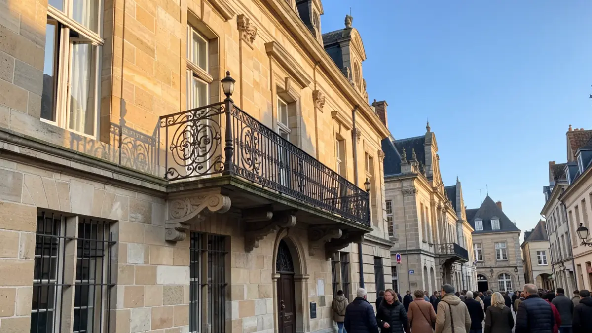
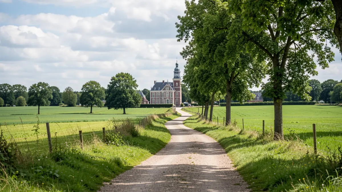
Dentergem aims to create a comprehensive network of slow roads that not only encompasses the entire municipality but also connects to surrounding towns and the existing network of walking routes. During an information session on Wednesday, October 14th, at 8:00 PM in O.C. Leieheem, the local administration provided details on the steps already taken and the future vision for this network.
In recent years, Dentergem has increasingly positioned itself as a municipality prioritizing nature experience, recreation, and tourism. Projects such as the development of Baliekouter, the enhancement of the Poelberg-Meikensbossen site, and the success of the annual blossom walks have accelerated this evolution. The municipal council now intends to set a clear course for the further development of the slow roads network.
The proposed route forms an almost continuous network around the entire territory of Dentergem. It connects existing and future slow roads, walking paths, buffer zones, stream valleys, and recreational sites. The route passes by landmarks such as the Sint-Annakapel, the Meikensbossen, Baliekouter, the Mandelvallei, the Oude Leie, Rosalie 't Feltplein, the Aalbeekvallei, the birth avenue in Markegem, the center of Dentergem, and the Speibeekvallei towards Aarsele. This initiative aims to create an attractive recreational network for residents and visitors.
A significant portion of the network already exists. Other connections still need to be realized or further developed in consultation with landowners and partners. The focus is on reaching amicable agreements, with legal procedures considered only as a last resort. During further development, special attention will be paid to preserving unpaved sections where possible (16 km of unpaved paths versus 13 km of paved paths), ensuring good coordination with agricultural activities, avoiding the fragmentation of farmland, and creating safe, logical connections between village centers and natural areas.
In addition to the future main network, Dentergem already boasts numerous existing slow roads spread across Dentergem, Markegem, Oeselgem, and Wakken. Examples include the Vijfbunderpad, the Tramweg, various church paths in Markegem, the Kasteeldreef in Wakken, the Schaepenbulckwandelpad, and several land consolidation paths.
For maintenance, the local administration collaborates with the Regionaal Landschap West-Vlaamse Hart through a management agreement. Future opportunities and connections will be assessed for their feasibility and added value to the network.
During the weekend of October 17th and 18th, 2026, Dentergem will highlight its slow roads. The local administration invites residents to discover the existing and future routes.