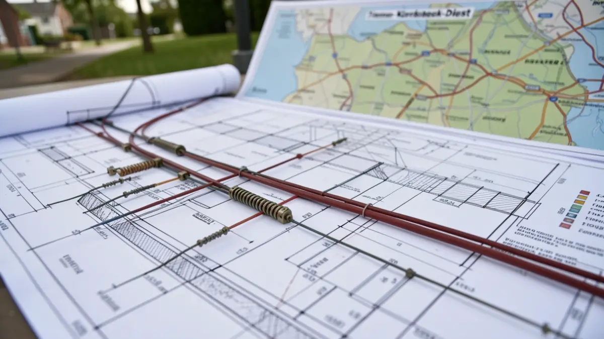
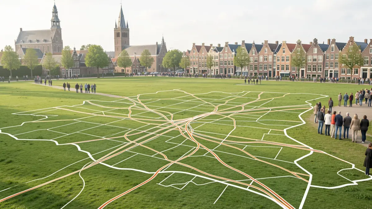
Three design teams today presented their future visions for the corridor between Lier and Herentals after a three-day design week. This exercise, commissioned by the Province of Antwerp and the University of Antwerp, investigated how mobility, infrastructure, town centers, and open space can be better coordinated in an area facing diverse challenges.
The designers were given the freedom to develop their vision for the corridor and explore new possibilities, as there is no concrete implementation assignment. They delved into the complexity of the corridor, mapping mobility, housing, recreation, agriculture, and supra-local developments, and examining their mutual influences. Each team started from a different alternative for closing railway crossings, with the central question being what opportunities arise for a sustainable modal shift and strong town centers.
"The design teams show how choices in mobility impact the spatial development of an entire region. This yields insights you don't get when looking at each project separately. That is precisely why design research is so valuable."
The teams investigated how new grade-separated crossings for cyclists and pedestrians can create connections over the railway. They first developed a vision for the entire corridor and then zoomed in on the opportunities for various centers. One team focused on closing all level crossings for motorized traffic, highlighting bottlenecks and opportunities, and linking future developments to multimodal hubs. Another team explored how closing railway crossings can act as a strategic filter for motorized traffic, creating opportunities for center reinforcement and strong connections for active travel in areas like Nijlen and Bouwel. The third team approached the crossings as multimodal links where different modes of transport converge, exploring opportunities for center reinforcement with attention to each center's unique identity.
Station environments also received special attention. For the stations in Kessel and Bouwel, designers developed ideas to anchor these locations more strongly in the mobility network. In Nijlen, they explored how public space can accommodate more active travel, combined with greening, space for water, and opportunities for hospitality businesses.
"People on the move don't think in policy domains. This week's proposals start from the daily lives of residents and show how accessibility and quality of life can reinforce each other."
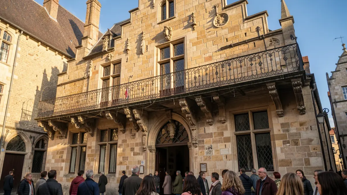
Representatives from the involved cities and municipalities, Infrabel, the Department of Environment and Mobility of Flanders, knowledge institutions, and various provincial services were present at the closing event. Their expertise brings together different perspectives for a richer view of the region's opportunities. "This is the strength of design research; it offers inspiration and opens the view to new solution paths," stated a spokesperson. The future visions are intended as inspiration for further policy choices and discussions, not as concrete implementation plans.
The insights form a basis for discussions with partners such as Infrabel, NMBS, De Lijn, and the Roads and Traffic Agency. Design research makes future situations tangible by developing ideas into images, maps, and designs. Municipalities like Grobbendonk and Bouwel look forward to these fresh ideas, as the railway should not be a barrier in the Kempen, and there are opportunities to strengthen accessibility through smart and safe connections for cyclists and pedestrians.
In addition to the substantive results, the Planathon offers young designers the chance to work on a concrete practical task for a week. The Planathon is a joint initiative of the provincial departments of Spatial Planning and Mobility, aligning with the Provincial Spatial Policy Plan and the Zuiderkempen mobility study. The design week builds upon earlier research by Architecture students from the University of Antwerp into railway crossings along the line between Lier and Herentals.