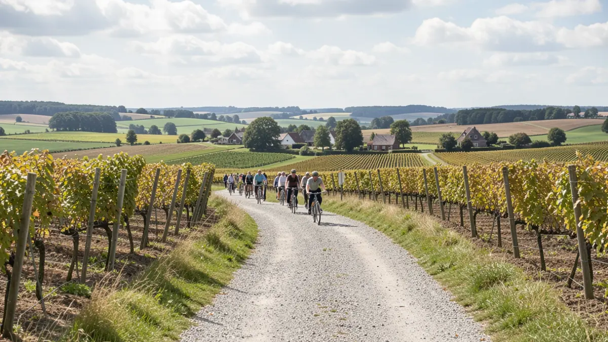
The region, known for its hollow roads, forest paths, and open plateaus, provides a special setting for gravel bikers. The longest loop measures 93.3 kilometers. Additionally, each municipality offers its own loop, allowing cyclists to start close to home. The routes are not signposted; cyclists follow them via GPS and download the GPX track in advance. All loops are ridden counter-clockwise.
The Gravelroute Druivenstreek is an initiative by Vrijetijdsregio Druivenstreek and the municipalities of Bertem, Hoeilaart, Huldenberg, Overijse, and Tervuren, in collaboration with Sport Vlaanderen. The partners aim to build an attractive and cross-border cycling offering, focusing on the landscape experience: sporty cycling, discovering new places, and enjoying the region.
A flyer with an overview map, the five loops, distances, the proportion of unpaved roads, and QR codes to the digital routes is available. This flyer helps residents and visitors quickly choose the appropriate route and starting point. More information and GPX tracks can be found at https://www.uitindedruivenstreek.be/gravelroute-druivenstreek.