Researchers, policymakers, and stakeholders collaborated within the NORSAIC project to integrate challenges like climate change and cumulative pressure on sea space into future plans. The project also sought ways to better combine diverse activities, including energy production, nature management, and fisheries.
ILVO specifically researched how the position of fisheries can be more strongly anchored in marine spatial planning. For this, the so-called core fishing grounds were mapped: areas where fishermen are most active or achieve the highest catch values.
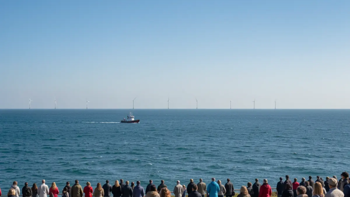
Analyses indicate that the expansion of offshore wind farms reduces available fishing grounds, particularly impacting beam trawl fishing. Further analyses will provide insight into the future development of these effects.
The knowledge gained from NORSAIC is being applied within the Greater North Sea Basin Initiative (GNSBI), where nine North Sea countries collaborate on aligning marine spatial plans and activities at sea.
During the NORSAIC final event on September 9, 2026, in Breda, experts convened to discuss the future of marine spatial planning. Interactive sessions and demonstrations of innovative tools offered insights into sustainable management of the North Sea.
ILVO's research aligns with its long-standing expertise in sea space utilization. The Belgian North Sea hosts various activities, including fisheries, offshore energy, nature management, shipping, sand extraction, and aquaculture. ILVO investigates how these can coexist sustainably and share space where possible, without neglecting the marine ecosystem.